

While heatwaves and drought in Spain were global headline news this summer, parts of the country are also vulnerable to flooding. Due to Spain’s large mountain ranges near the sea, unique meteorological events and uneven rainfall distribution lead to a large variance in the risk of flooding across the country. But which areas are most at risk?

A pesar de que el calor y la sequía han copado los titulares este verano, grandes regiones del país son vulnerables ante las inundaciones. Las grandes sierras montañosas cerca del mar, eventos meteorológicos como la gota fría y una distribución desigual de las lluvias propician un riesgo de inundación elevado en ciertas partes de la geografía española pero ¿cuáles son las provincias con mayor riesgo?

Britain’s climate is changing. Drier summers are leading to increases in subsidence, flooding will become much more prevalent due to wetter winters, sea level rise and more intense storms. These impacts will not be evenly distributed, which areas will be affected most? Will there be areas newly at risk?

Climate change is driving increased sea levels and more extreme events around coastlines globally.
How will Ireland be impacted?
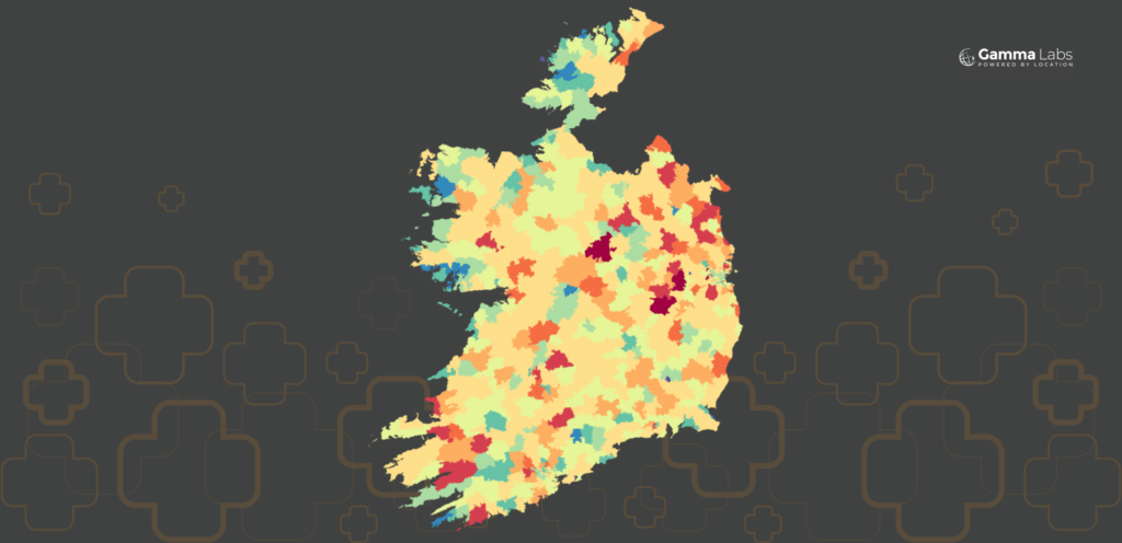
With up to €2Billion in property damage anticipated, which counties are most at risk?

What makes analysing spatial data particularly interesting? “Everything is related to everything else, but near things are more related than distant things” – Tobler’s first law of geography.

Counties, Trading Areas, Townlands, Small Areas, NUTS regions; there are an infinite number of ways of dividing up our country for analytics. In this paper we look at some of the more commonly used boundary datasets in Ireland.